
Reserve from the case
Shipping Estimate
USA
- USA
- CAN
- USA
- CAN
Ships within 48 hours · Estimated delivery Oct 23 - Oct 28
Reserve from the case
Ships within 48 hours · Estimated delivery Oct 23 - Oct 28
CHS Nautical Chart CHS7520: CHS Chart 7520: Prince of Wales Strait
- LONGITUDE LATITUDE LINES
The Kentucky Large Scale Shaded Relief Topographical Wall Map by Universal Map measures 64 by 54" (approximately)
Specifications of this high quality map include: Measures 6' W x 4'2" H (72
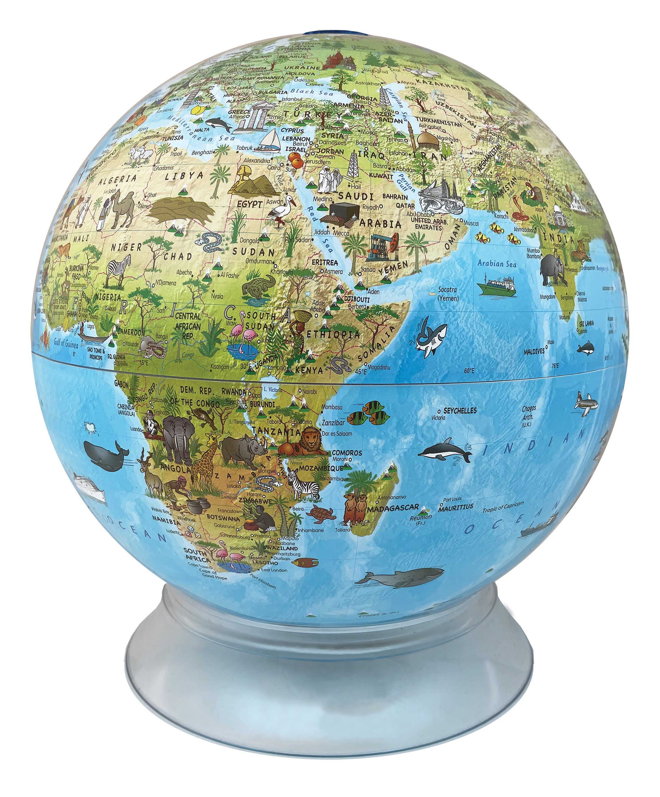
Day-Night 12 Inch Desktop Children's World Globe By Replogle Globes Geography_WA CHS Nautical Chart CHS7520: CHSQuick Overview Illuminated, Blue Ocean. 12 Inch Diameter, Hand papered, raised relief ball. 13"W X 12"D X 16. 5"H; Product Weight: 6 Lbs. With the Day Night Children's Globe, you have the ability to see stunningly beautiful colors in both day and night mode. When not in use, the globe shows a Political Map of Blue Ocean with 100 drawings of ocean life as well as people, landmarks and more. Turn on the globe's rechargeable LED lights and 88

US$ 139.73


US$ 647.50

US$ 658.50


US$ 658.50

US$ 148.50

US$ 493.50


US$ 448.50


US$ 447.50


US$ 347.50


US$ 872.50


Pay in 4 interest-free payments of $24.99 Learn more