

Reserve from the case
Shipping Estimate
USA
- USA
- CAN
- USA
- CAN
Ships within 48 hours · Estimated delivery Oct 22 - Oct 27
Reserve from the case
Ships within 48 hours · Estimated delivery Oct 22 - Oct 27
000 or 1 inch is approximately 2 miles
Johnson City USGS Regional Raised Relief Map
Scalex Ready Connect Software
Olympic National Park Raised Relief Map
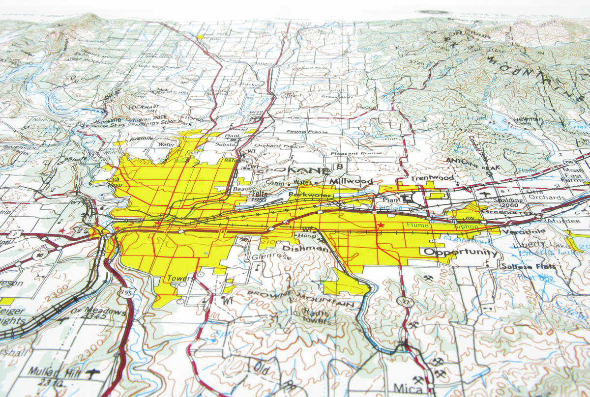
Spokane USGS Regional Raised Relief Map Wyoming 000 or 1 inch isSpokane USGS Regional Raised Relief Map Size: 28" x 21" Scale: 1: 250,000 or 1" = 4 Miles This map covers portions of Washington and Idaho. Coverage: Latitude: 47 48 North Longitude: 116 118 West Raised relief three dimensional maps provide an unique tactile experience to map reading. Touching the maps allow you to truly understand the terrain. For over 30 years as an authorized dealer of these maps, we have placed these maps in schools, offices, real


Pay in 4 interest-free payments of $18.74 Learn more